Alabama 811 | Know What's Below.

Archive for February 8th, 2014

Late Night Forecast Update

Late Night Forecast Update

| February 8, 2014 @ 11:29 pm

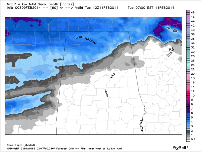
I have just updated the Alagasco Seven Day Forecast and thought I would share the winter storm discussion portion with you. ARCTIC AIR ARRIVES MONDAY: Even as the arctic airmass oozes in from the north on Monday behind a cold front, low pressure will be spinning up over the western Gulf of Mexico. This is […]

Read More

For Your Saturday Night

For Your Saturday Night

| February 8, 2014 @ 6:41 pm

It hasn’t been a bad Saturday across much of Central Alabama. We did start the day off with some winter weather precip, but that ended during the morning hours and we even started to see some peeks of sunshine across the area during the afternoon. After being right around the freezing mark this morning, most […]

Read More

Forecasters Gone Nuts?

Forecasters Gone Nuts?

| February 8, 2014 @ 3:23 pm

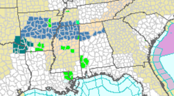
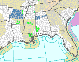
Have weather forecasters in the Southeast US gone nuts? Just look at the National Weather Service (NWS) watch/warning/advisory map below, and you might be inclined to think so. But actually, when it comes to the “rules” for forecasting, you have to remember that many forecast decisions are a result of forecaster judgement. Looking at the […]

Read More

Winter Storm Watch Issued for Monday Night

Winter Storm Watch Issued for Monday Night

| February 8, 2014 @ 2:50 pm

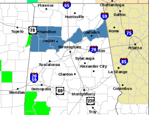
The National Weather Service in Birmingham has issued a Winter Storm Watch for some of our northern counties for Monday night into Tuesday morning. The counties in blue are under this watch. They include Marion, Lamar, Fayette, Winston, Walker, Blount, Etowah, and Cherokee. At this time, the watch does not include Birmingham, Tuscaloosa, or Anniston. […]

Read More

Slow Clearing, a Range in Temperatures

Slow Clearing, a Range in Temperatures

| February 8, 2014 @ 2:31 pm

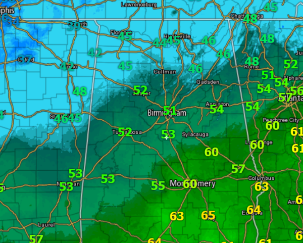
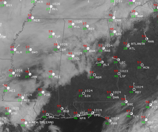
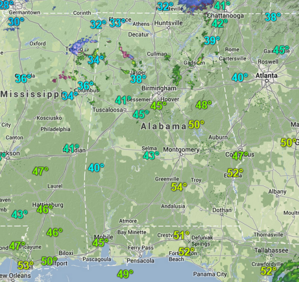
The clouds are slowly clearing out of the state. Our last look at a satellite image for today shows clear skies over southeastern Alabama. There is a mix of sun and clouds for the northern two-thirds of the state, and we are beginning to see more breaks in the clouds over the northern part of […]

Read More

A Mix of Sun and Clouds

A Mix of Sun and Clouds

| February 8, 2014 @ 12:28 pm

Improving conditions across the state today after a wintry mix and some slick spots early this morning. All the precip has since ended and we are beginning to see some peeks of sunshine across Central Alabama. To the south portions of the state are seeing more sun than clouds. Clear skies are being reported at […]

Read More

Late Morning Update

Late Morning Update

| February 8, 2014 @ 10:07 am

We continue to watch a few areas of light rain/sleet/snow moving across northern and central Alabama this morning. A majority of the precip has moved out of the state, but there are still a few light showers ongoing. Temperatures have warmed above the freezing mark, so what precip falls will not be impacting the roadways. […]

Read More

Challenging Week Ahead

Challenging Week Ahead

| February 8, 2014 @ 7:34 am

An all new edition of the ABC 33/40 Weather Xtreme video is available in the player on the right sidebar of the blog. You can subscribe to the Weather Xtreme video on iTunes by clicking here. Wintry precipitation moved across northern Alabama this morning creating some travel issues across parts of northern Mississippi, Northwest Alabama, […]

Read More

Precipitation Works East, Weakens

Precipitation Works East, Weakens

| February 8, 2014 @ 4:20 am

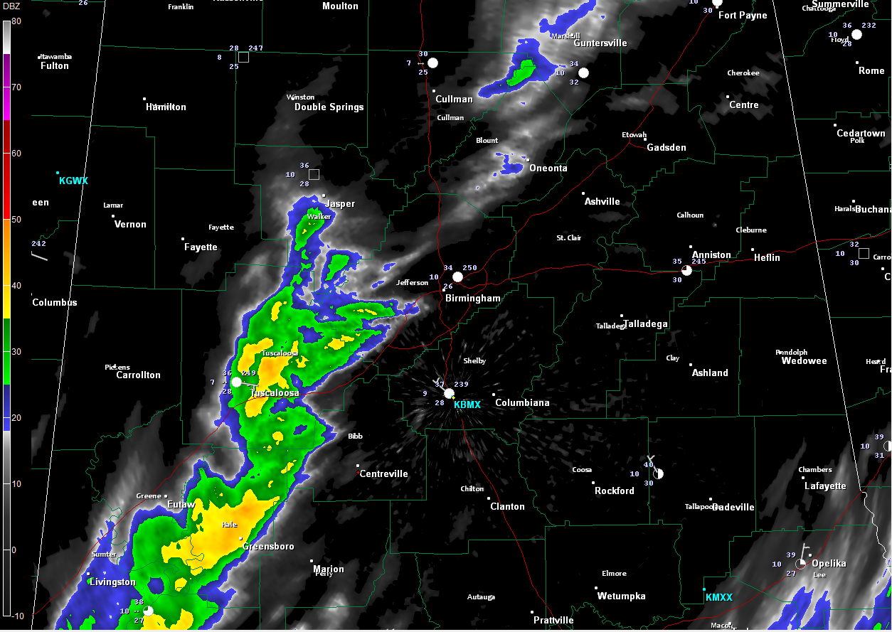
The area of precipitation did in fact weaken as it moved into Alabama and into drier air overnight, and we have been watching it shrivel up on radar. Light precipitation continues from the Birmingham Metro area, where it is 34F at the Airport ad 37F in Calera generally down I-59 through Tuscaloosa, Greene, Hale and […]

Read More

Watching the Wintry Weather

Watching the Wintry Weather

| February 8, 2014 @ 2:17 am

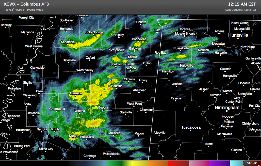
A wintry mix continues moving northeastward tonight across eastern Mississippi and northwestern Alabama. Snow was accumulating on raised surface in and around Winfield and Hamilton in Marion County. It was 28F at Haleyville with a wintry mix. Some of the heaviest precipitation was there a short while ago, and it is now approaching Moulton in […]

Read More

Winter Weather Advisory for  Fayette, Lamar, Marion, Walker, Winston

Winter Weather Advisory for Fayette, Lamar, Marion, Walker, Winston

| February 8, 2014 @ 12:37 am

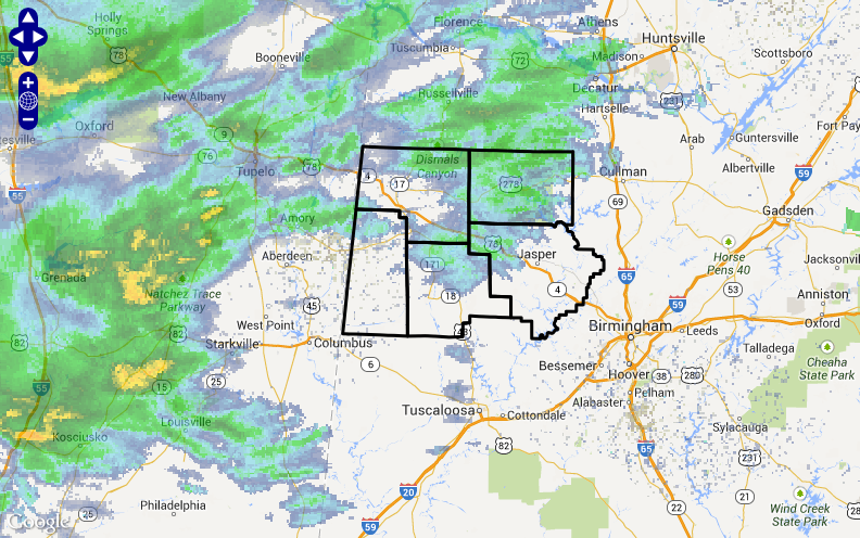
The NWS Birmingham has issued a Winter Weather Advisory effective until noon today for counties over West Central and Northwest Alabama, including: Fayette, Lamar, Marion, Walker and Winston. Snowfall accumulations will be light over the Advisory area, less than 1/2 inch, but some freezing rain on the back edge could cause enhanced icing problems after […]

Read More

Some Snow into Alabama

Some Snow into Alabama

| February 8, 2014 @ 12:25 am

Light snow moved into Northwest Alabama’s Marion County just after 11 p.m. Sleet was reported at Columbus MS in the past few minutes. The precipitation was increasing according to radar over Franklin, Winston and Marion Counties. Upstream, areas of light to moderate precipitation covered much of North Central Mississippi from Yazoo City to to Grenada […]

Read More