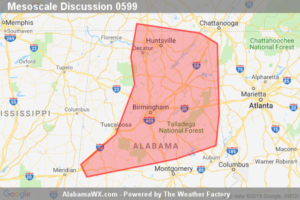
SPC Mesoscale Discussion: Severe Potential… Watch Possible
Locally damaging winds will remain possible over the next couple of hours across the northern and central Alabama vicinity. A new WW is being considered.

Locally damaging winds will remain possible over the next couple of hours across the northern and central Alabama vicinity. A new WW is being considered.
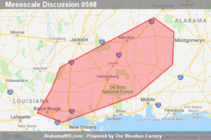
Severe weather risk continues across WW 156, and will gradually expand eastward/southeastward with time. This expansion in risk area will likely require a new/downstream WW.
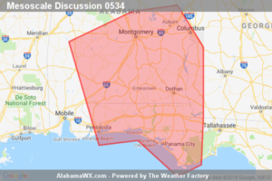
Limited/local severe risk continues in/near WW 190.
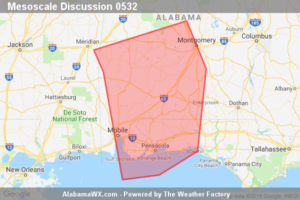
Local risk for severe storms continues in/near WW 190.
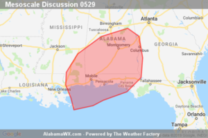
Severe — and possibly isolated tornado — risk is expected to increase over the next 1-2 hours, with watch issuance becoming increasingly likely over the next hour or so.
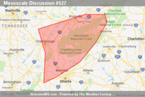
Limited severe risk — mainly in the form of gusty/locally damaging winds — exists over portions of the southern Appalachians, though WW is not anticipated in the short term.
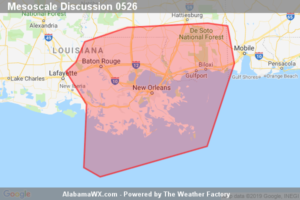
An isolated severe risk in the form of locally damaging winds and/or a brief tornado will continue to shift eastward across southeast Louisiana toward coastal Mississippi. Severe Thunderstorm Watch 129 will be allowed to expire at/by 15Z. While an additional Watch to its east is not imminent/certain (40% probability), convective trends will continue to be monitored.
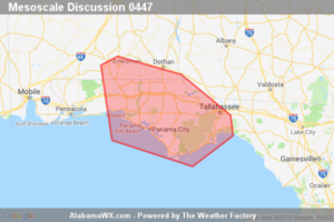
Thunderstorms potentially capable of damaging gusts and perhaps a weak tornado or two are possible this evening across the FL Panhandle. A new tornado watch will likely be needed by 730pm EDT.
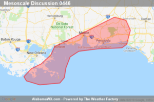
The severe threat area continues to diminish in size, with the most likely area of a damaging gust or brief tornado along coastal counties.
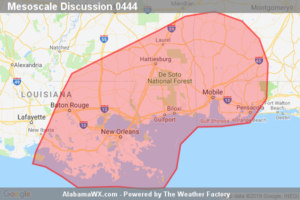
The threat for locally damaging winds and brief tornadoes continues within the watch area, and may increase this afternoon. Severe storms may eventually spread into southwestern Alabama, and this area will be monitored for watch potential.
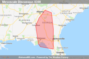
Isolated severe/tornado risk continues, and will shift gradually east/northeast with time. New WW may eventually be needed.
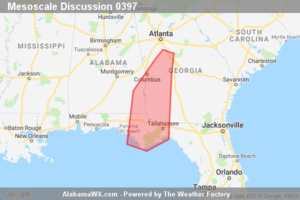
Isolated/limited severe risk persists across valid portions of the watch.
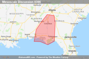
Risk for isolated severe storms and a tornado or two continues.
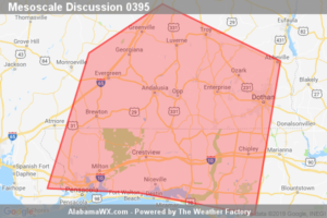
Trends are being monitored for a possible increase in thunderstorm organization and intensity during the next couple of hours over the central Gulf coastal region. A ww issuance is possible, but remains uncertain and will ultimately depend on convective trends.
Notifications