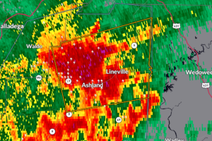
Severe Thunderstorm Warning for Northeastern Clay County Until 5:15 AM
A severe storm near Ashland is racing east through Clay County with 60 mph winds and quarter-size hail possible.

A severe storm near Ashland is racing east through Clay County with 60 mph winds and quarter-size hail possible.
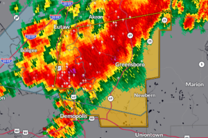
A strong storm near Forkland is moving into Hale County with 60 mph winds and quarter-size hail possible.
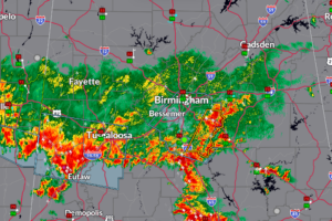
Heavy storms training over central Alabama may drop 2 to 4 inches of rain and lead to flash flooding through sunrise.
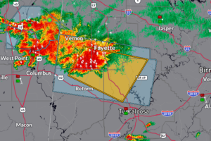
A strong storm over Pelham is moving through Shelby County with the potential for damaging winds and small hail through 4:30 AM.

A severe storm near Kennedy and Millport is tracking east with the potential for damaging winds and hail through 2:15 AM.
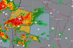
The storm moving into Lamar County near Sulligent is below severe limits for now, but could still produce wind gusts to 50 mph, pea-size hail, heavy rain, and dangerous lightning.
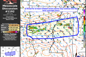
Scattered strong to severe storms may persist into the overnight hours, with a few potentially reaching western Alabama, though confidence in watch expansion remains low.
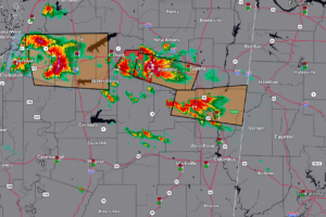
A cluster of strong storms—one with a recent tornado debris signature—will approach northern Lamar and Marion counties between midnight and 1 a.m., with favorable conditions in place for damaging winds, hail, and a possible tornado.
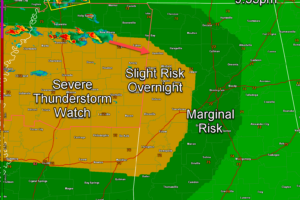
An unstable atmosphere and approaching storm complex from Mississippi could bring strong to severe storms, including damaging winds and a low-end tornado threat, to western Alabama after midnight.
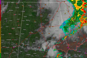
Today’s storms are winding down, but a renewed severe threat returns overnight with damaging winds possible across all of Central Alabama.
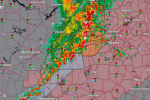
A weakening line of storms continues across eastern Alabama, with one remaining severe thunderstorm warning in Cleburne County and over 131,000 power outages statewide.
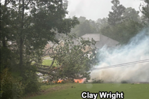
Widespread wind damage has been reported across Alabama with trees and power lines down in multiple counties including Jefferson, St. Clair, Talladega, and Madison.
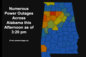
Winston County has been especially hard hit with nearly 50% of the trackable customers now without power.
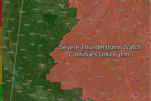
Severe Thunderstorm Watch 385 continues until 6 PM for much of northern and central Alabama, with damaging winds the main concern.
 Our long time friend, mentor, and charter Weather Factory member, J.B. Elliott, passed away on May 11, 2015. Click HERE to read James' tribute.
Notifications

