Flood Watch Extended A Little Farther South In Central Alabama
NWS Birmingham extends flood watch farther south while NWS Huntsville extends flood watch in time.
Scott Martin is a meteorologist, graphic artist, musician, husband, and a father. Scott is a member of the National Weather Association and the Central Alabama Chapter of the National Weather Association. Scott is also the co-founder of Racecast Weather, which provides accurate forecasts for many racing series across the USA.
NWS Birmingham extends flood watch farther south while NWS Huntsville extends flood watch in time.
Multiple rounds of heavy rainfall are expected starting Tuesday and continuing through the end of the week for portions of North and Central Alabama.
As of 11:50 am today, radar is mainly free of any echos across Central Alabama, but we do see a few blips down around the southeastern parts over Pike and Bullock counties.
Today, we take a look at our first topic for Severe Weather Awareness Week… Severe Thunderstorms.
The week of February 17th-22nd has been declared Severe Weather Awareness Week by Governor Kay Ivey. NWS Birmingham, Alabama EMA, and other supporting organizations are asking for help to provide the public with severe weather safety information, and the AlabamaWx Weather Blog team are glad to help.
We have showers that will be coming to an end soon over Central Alabama, but rain comes back on Sunday and will not leave for a good while which could lead to some flooding issues.
We have warmer than normal temperatures on this day after Valentine’s Day, but the skies are filled with clouds as we make our way to the midday hour in Central Alabama.
Skies over the eastern half of the area are mostly clear as we are making the run-up to the midday hour, while skies are becoming mostly cloudy in the west.
Plenty of sunshine is shining brightly across Central Alabama as we have reached the midday hour of this mid-February Hump Day.
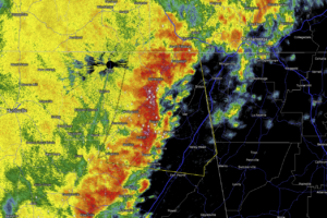
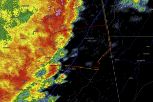
As just before 1:00 pm on this Tuesday afternoon, the main line of strong to severe thunderstorms have now pushed out of Central Alabama and into Georgia.
At 11:37 am, we continue to see a line of strong thunderstorms pushing through the extreme east and southeastern parts of Central Alabama, with the potential of strong gusty winds up to 50 MPH and a very small threat of a brief spin-up tornado.
As of 10:20 am, the main line of rain and storms has now moved into the eastern half of Central Alabama, now stretching from Piedmont to Talladega to Autaugaville.
AT 8:15 AM: The stronger part of the squall line is now beginning to approach or has already made it to some of the larger cities in Central Alabama.
The Storm Prediction Center has nearly all of the southern two-thirds of Central Alabama once again defined in a Marginal Risk for severe storms throughout the day on Tuesday.
Skies are mainly cloudy across Central Alabama halfway through the midday hour, as there are a few small breaks letting a minute amount of sunshine through.
While we’ll have decent weather for this afternoon and tonight, we’ll have rain chances for nearly every day for the week ahead.