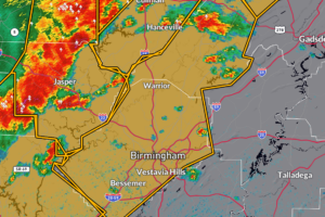
Severe Thunderstorm Warning for Blount and Jefferson Counties Until 3:00 PM CDT
A fast-moving line of severe thunderstorms was located stretching from Addison to Jasper to Oakman to near Binion Creek Landing, moving east at 65 mph.

A fast-moving line of severe thunderstorms was located stretching from Addison to Jasper to Oakman to near Binion Creek Landing, moving east at 65 mph.
Severe thunderstorms moving through the region are capable of producing damaging wind gusts up to 70 mph, hail, and frequent lightning.
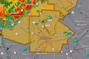
A line of severe thunderstorms was located extending from near Eldridge to Ashcraft Corner to near Ethelsville, moving southeast at 55 mph.
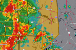
A line of severe thunderstorms was located from near Littleville to near Lake Buttahatchee to near Bluff, moving east at 45 mph.
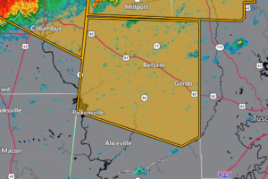
A line of severe thunderstorms was located from about 7 miles northwest of Millport to near Artesia, moving east at 55 mph.
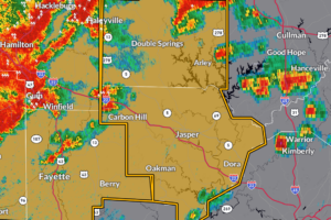
A line of severe thunderstorms was located extending from near Hackleburg to near Gu-Win to 7 miles east of Caledonia, moving east at 60 mph.
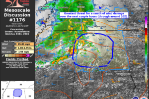
As of 12:45 PM CDT, radar shows a strengthening line of storms — known as a mesoscale convective system (MCS) — moving east at around 40 knots from far northeastern Mississippi into northern Alabama.
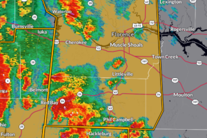
A line of severe thunderstorms was located from near Corinth to Sandy Springs to Shannon, moving east at 50 mph.
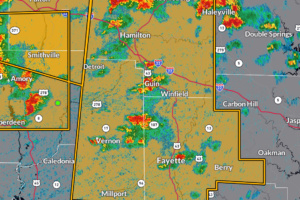
A line of severe thunderstorms was located stretching from near Thrashers to Tombigbee State Park to Pyland, moving east at 50 mph.
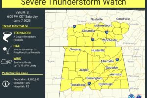
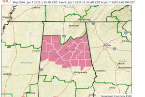
A Severe Thunderstorm Watch is now in effect until 6 PM for the northern half of Alabama, where damaging winds and large hail are the primary threats.

Heat index values near 100° across Central Alabama this afternoon are creating a moderate risk for heat-related illness, especially for those without proper cooling or hydration.
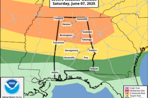
As of the latest update from the SPC, all the northern half of Alabama has now been placed in an enhanced risk for severe storms for today.
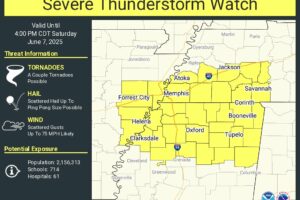
Severe storms with damaging winds will push into northwest Alabama around midday, with an enhanced risk for severe weather this afternoon as an MCS moves east from Mississippi and Tennessee.
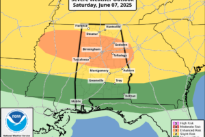
Good Saturday morning! An active weather pattern is taking shape across Central Alabama this weekend and into next week, with multiple rounds of storms—some of which could be severe. Here’s a breakdown of what to expect day by day.
 Our long time friend, mentor, and charter Weather Factory member, J.B. Elliott, passed away on May 11, 2015. Click HERE to read James' tribute.
Notifications

